Description
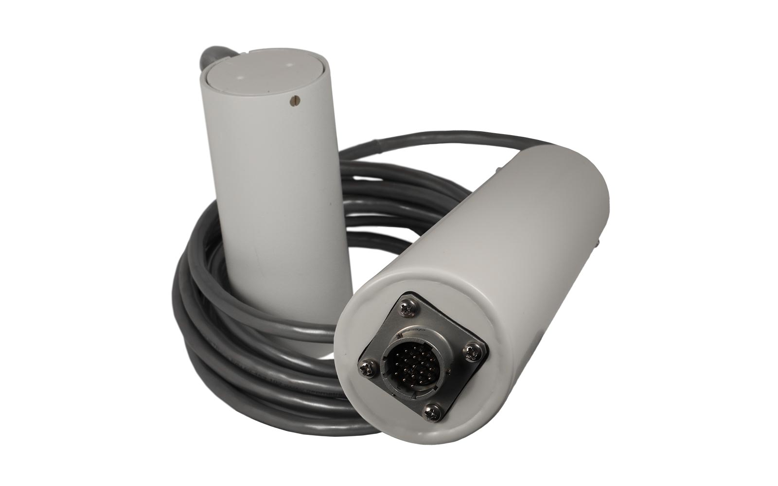
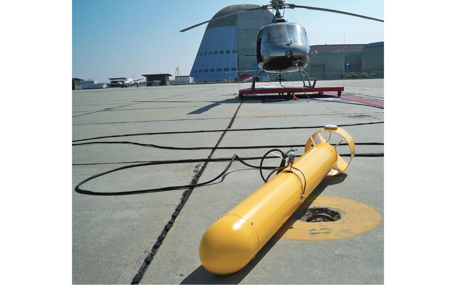
The model G-823A Cesium Magnetometer provides unmatched versatility of performance, size, function, and cost-effectiveness for larger scale aerial-based magnetic surveys. It can also be used as land portable system.
In addition to the magnetometer measurement, the internal CM-201 counter also includes Julian time/date, a provision to accept an external sync pulse, and six A/D converters for digitizing and recording signal amplitude, radar/barometric altimeter, EM or other analog data. The transmission format of all functions is selected by software command and may be customized for each job.
The G-823A meets the highest vibration and temperature standards for airborne, land, or marine surveys. Custom-length cables and special packaging are available for each of these applications. Critical heading error performance is documented and supplied for each G-823A system.
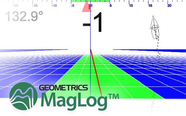
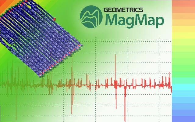
Geometrics offers a complete system including magnetometer, GPS navigation, data logging and display software, post-acquisition data processing software, and training. Expand your Magnetometry surveying capabilities with the versatile multi-sensor array capable G-823A Cesium Magnetometer!
Features and benefits
- Versatile Multi-Sensor Array Capability: This instrument can be used in fixed wing, helicopter or land applications to fit any surveyor’s needs.
- Highest Sensitivity: Pick up the smallest variations in the magnetic field.
- Fast Sampling: Better coverage at faster speeds.
- Very Low Heading Error: Get very clean, repeatable measurements without fear of instrument noise impacting the data.
- Low AC Field Interference: Survey next to power lines when necessary.
- Rugged and Reliable: Weatherproof. Survives three-foot drop onto hard surface.
- Ultra-stable: No need to calibrate sensors.
- Export Version Available: Use anywhere in the world without need for an export license (except embargoed countries). See specifications.
Technical Details
Downloads
TYPICAL USES
- In-Accessible Terrain: Difficult or dangerous terrain is no longer a problem, making it perfect for surveying wetlands, heavily vegetated areas, extreme terrain, or protected lands.
- Environmental: Find abandoned wells, pipes, and storage tanks quickly and with precise positioning.
- Archaeology: Survey vast distances and leave potential archaeology sites undisturbed from the air.
- Geology: Survey for regional variations in the magnetic field.
- UXO Detection: Collect data at high speed with a fast sample rate, making detection and delineation of UXO quick and easy.

