Description
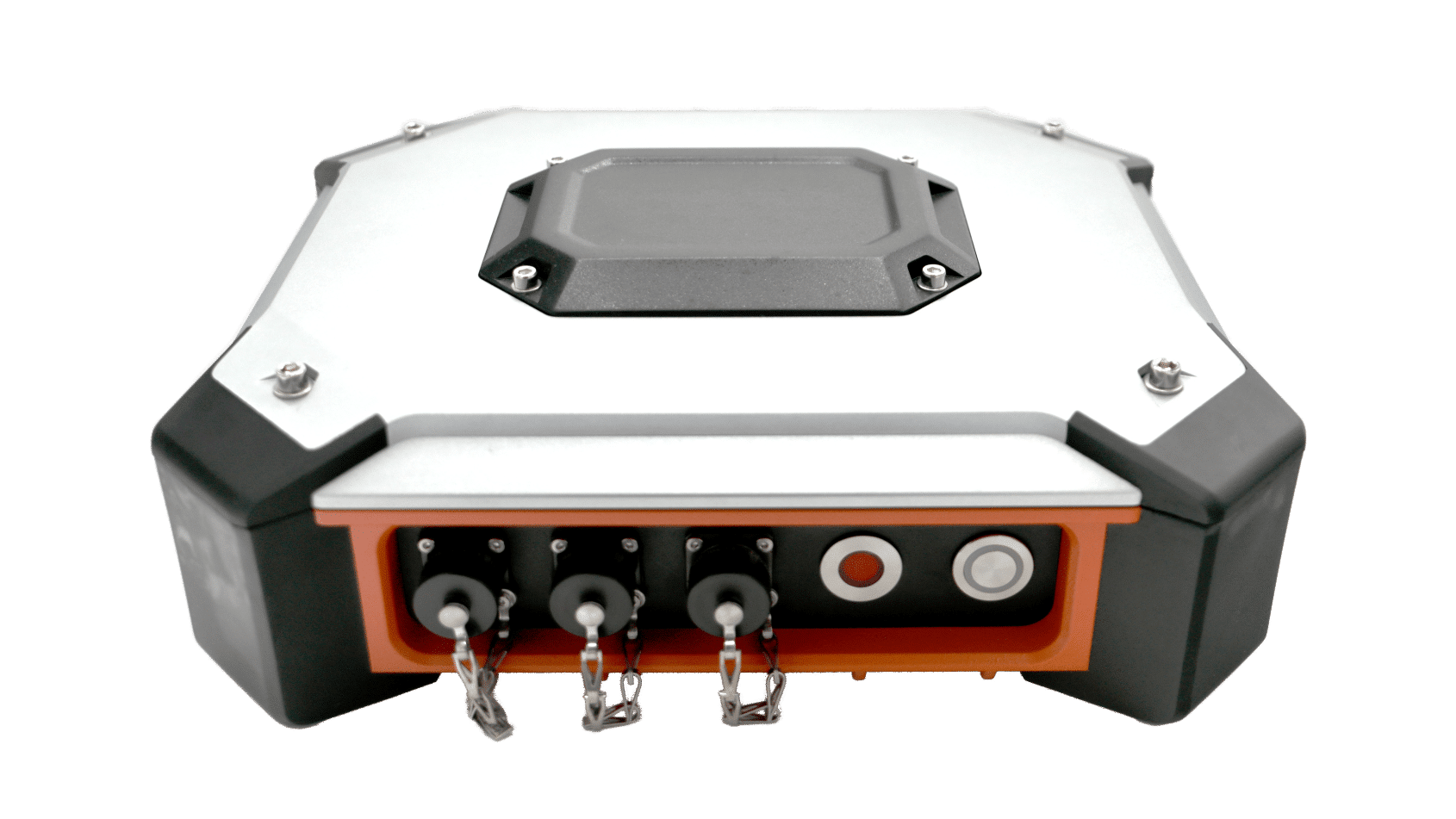
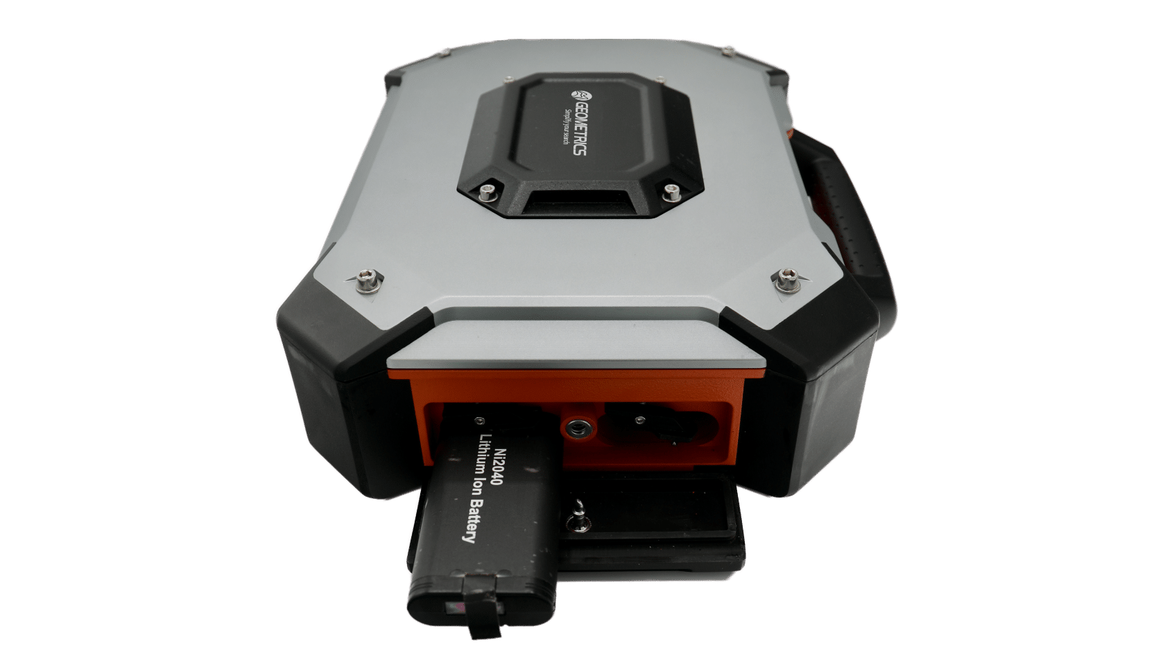
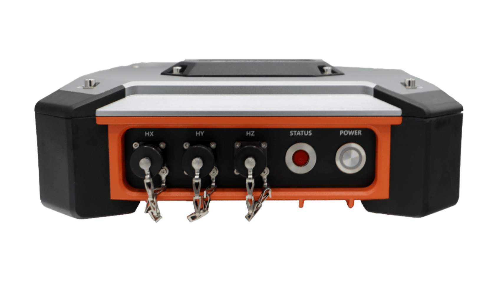
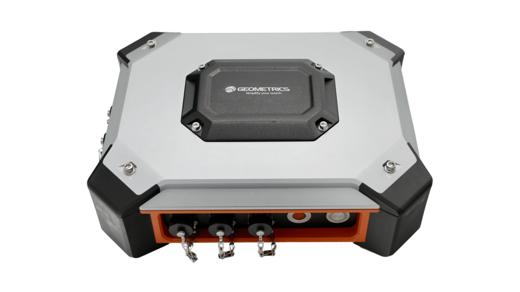
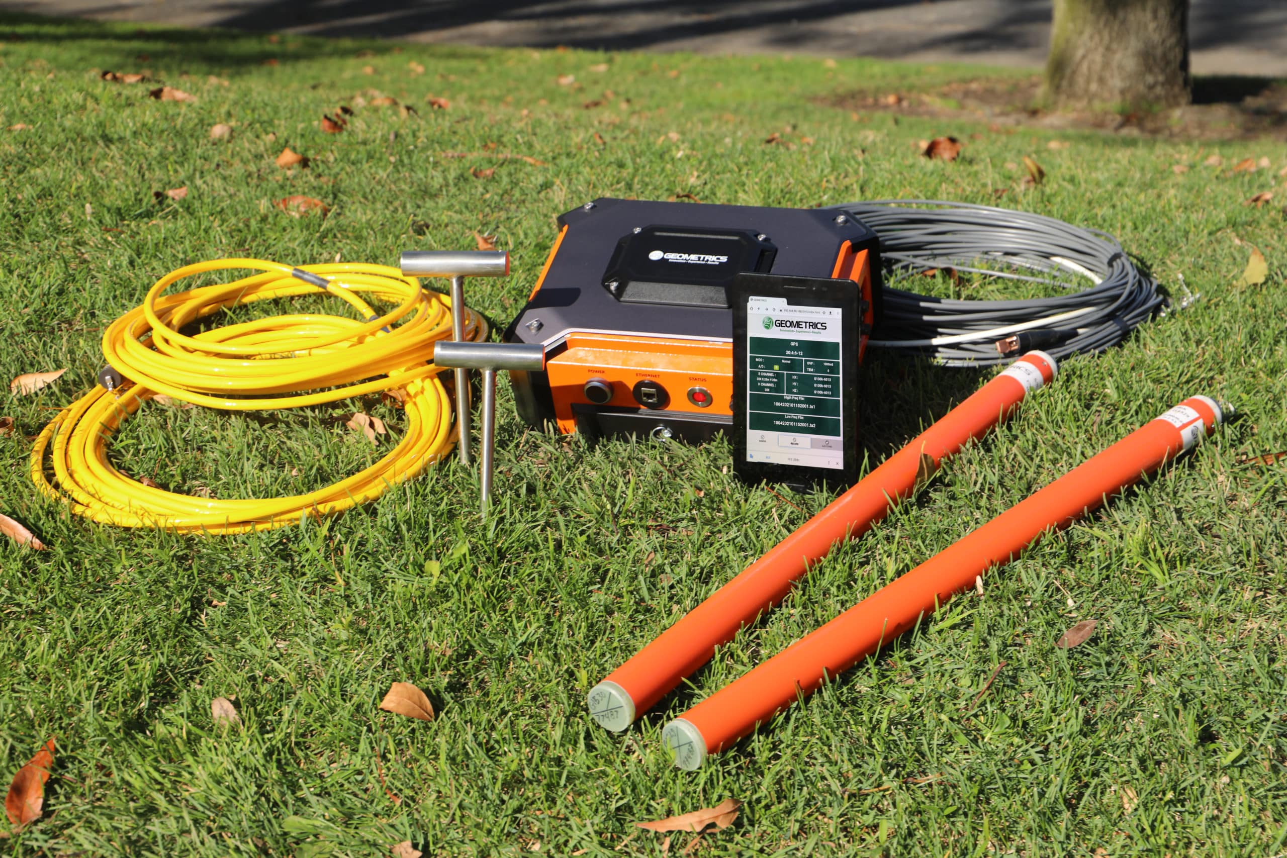
The Stratagem EH-5 is used to measure the electrical impedance at the earth’s surface using a series of simultaneous measurements of local electrical and magnetic field fluctuations. These field measurements are made over a period of several minutes; Fourier transformed, and stored as power spectra. The surface impedance calculated from these spectral values is a complex function of frequency where higher frequency data are influenced by shallow or nearby features, and lower frequency data are influenced by structures at greater depth and distance. An MT sounding provides an estimate of vertical resistivity beneath the receiver site and also indicates the geoelectric complexity at the sounding site. Stratagem EH5 measurements may be effectively applied in ground water investigations, subsurface characterization at environmental study sites, shallow mineral and geothermal exploration, and in civil engineering studies. The EH5 is also perfect for academics as it's easy to use, light weight, and portable and is a great introduction to students without prior knowledge of MT. Because this battery-powered system is compact and portable, it is productive even on rough terrain and may be operated successfully in fairly hostile environments. The speed and portability of the Stratagem EH-5 system allows for a flexible survey design. Surface impedance results are immediately displayed as a resistivity sounding and may also be processed in groups of soundings and viewed in section while on site. This flexibility enables the investigator to alter the survey design on site based on preliminary processing and examination of measurement results. For more information, read our brochure on the new Stratagem EH-5 here!Features and benefits
-
Fully integrated, easy-to-use system - All hardware and software ready to go out-of-the-box.
-
Rapid setup and data acquisition – Full sounding to 1000 meters
-
Real-time, in-field display – The Stratagem EH-5 is controlled using any Android or Windows device.
-
Resistivity mapping from 10 m to 1,000 m in a single setup – Perfect tool for high-resolution resistivity mapping for minerals and groundwater exploration, engineering and geotechnical site evaluation, and academic research.
-
Simple to setup, rapid data acquisition, in-field display of MT parameters – The best tool for teaching MT and AMT concepts in an academic setting.
-
Enhanced Signal Availability - Natural field MT signals and remote reference, provide the highest quality AMT data, even in the AMT dead zone
-
Multiple Export Formats - Export data to suit your particular needs, including EDI format, Columnar ASCII DAT, and Geometrics Data Files
-
Measure Both Scalar and Tensor Resistivity - Create representations of the subsurface geology more accurately
-
Remote Reference - The optional EH5 remote reference station can be used to increase data quality throughout the frequency band and used as a second sounding expansion module to increase survey productivity
Technical Details
Downloads
TYPICAL USES
- Geologic mapping from 10's to 1,000 meters and more for mining and minerals exploration
- Mapping hydro-geologic features for groundwater exploration
- Geothermal reservoir mapping
- Shallow oil and gas exploration
- Deep geotechnical and engineering application such as deep structure mapping for future dam sites, characterizing potential nuclear waste deposit integrity, viewing geological structures for deep mountain tunneling, etc
- Excellent tool for academic research and teaching

