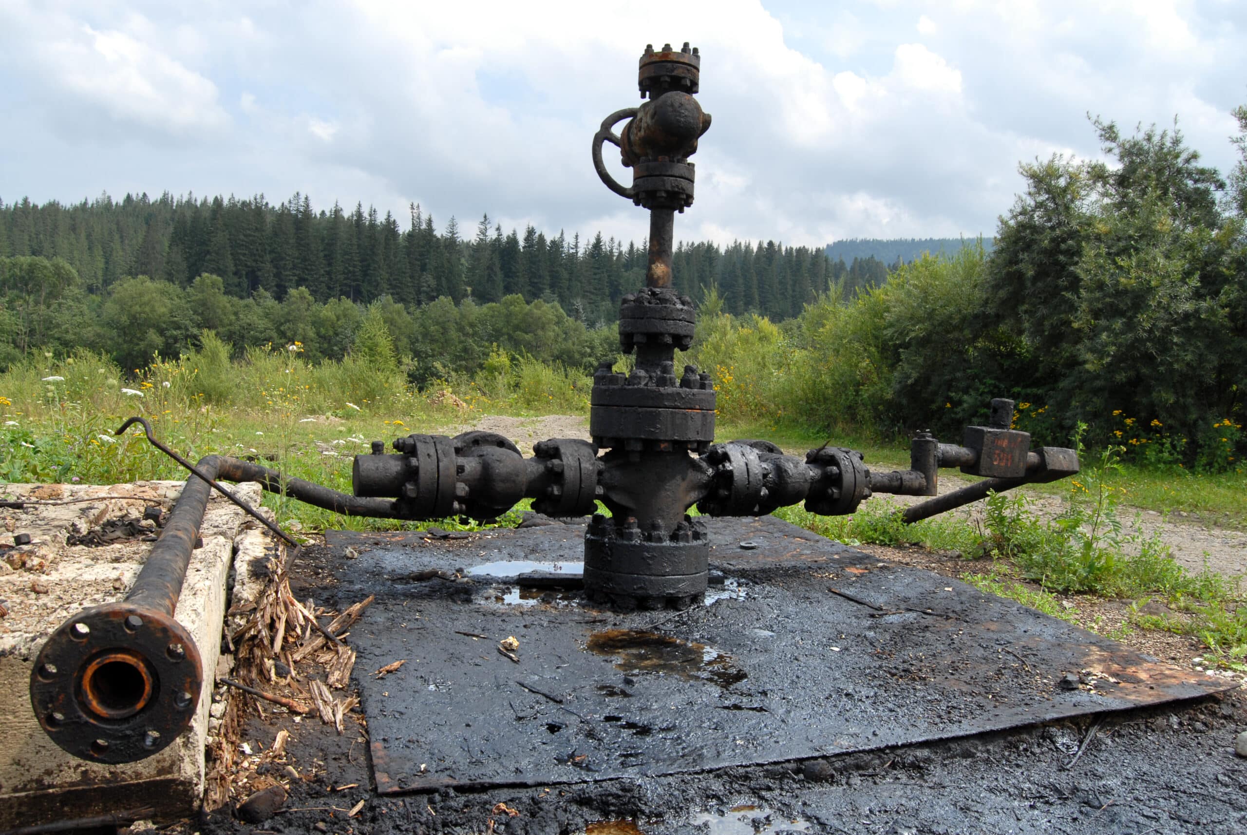
Orphaned oil and gas wells are environmental hazards responsible not only for emitting noxious gasses like methane, but can also result in sinkhole formation and flooding. It is unclear how many orphaned wells are present in the United States, but the U.S. Department of Interior estimates somewhere between 210,000 to 746,000 located throughout the country. They also report that millions of Americans live within just one mile of an abandoned coal mine or an orphaned oil and gas well. These legacy pollution sites are environmental hazards and jeopardize public health and safety by contaminating groundwater, emitting gasses that contribute to air pollution, and littering the ground with rusted equipment. Orphaned wells are also known to contribute to sinkhole formation and flooding which can damage or destroy infrastructure.

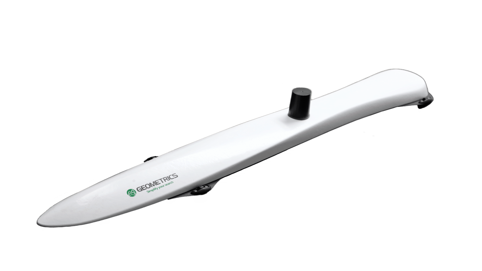
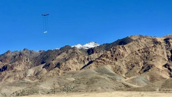
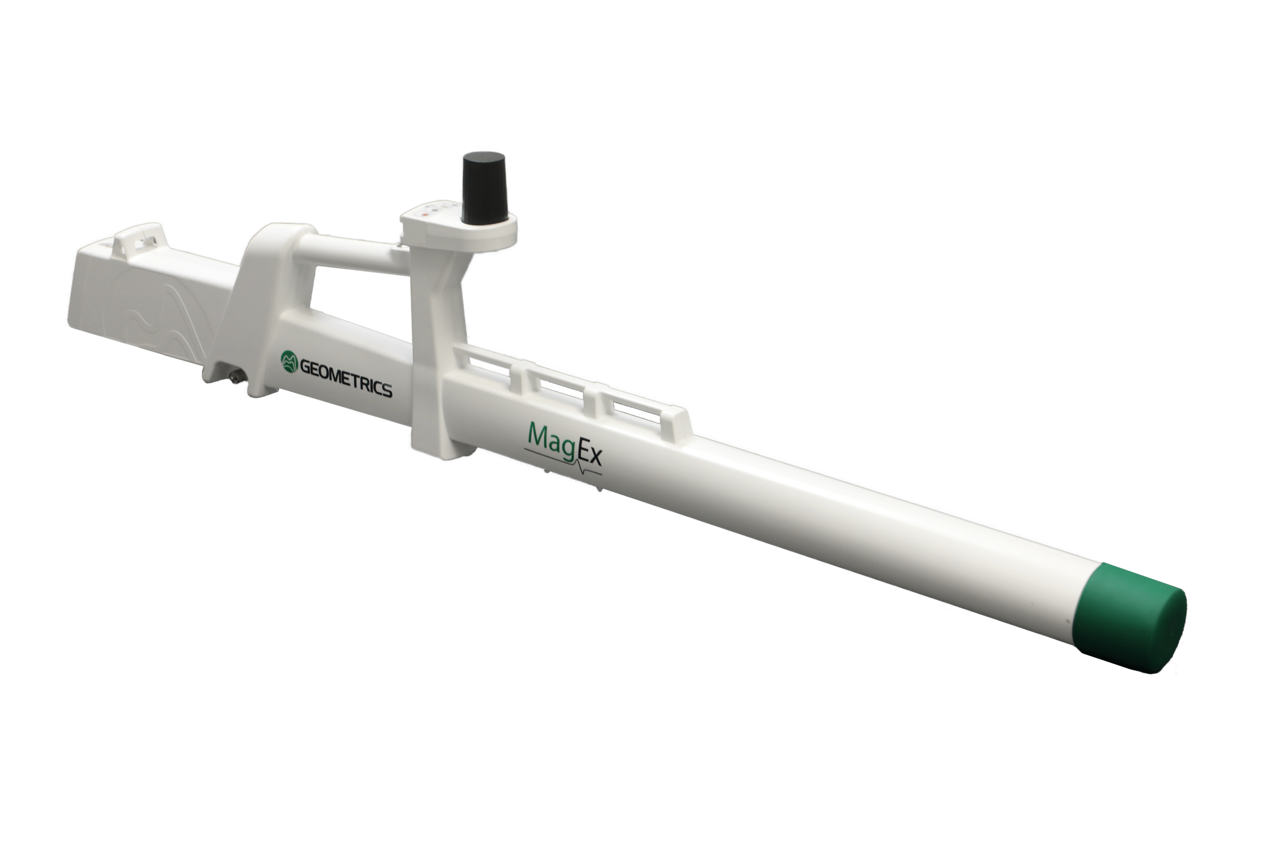
Locating these abandoned wells is the first step in mitigating the hazards these wells present. Our MagEx provides a lightweight, low-power tool for walking surveys and lets users perform ground surveys quickly and easily while viewing data in real time. For larger areas, the MagArrow II - our drone-mounted magnetometer is an ideal tool to survey large, difficult-to-access areas quickly and safely.
MagArrow II

Discover More
Further Information

Further Information

The U.S. Department of Interior has established a program for the purpose of locating and capping orphaned wells. Click here for more information on this program and the opportunities available. Many U.S. States with known orphaned wells also have remediation programs. States such as California have large numbers of wells they are actively looking to cap. We recommend researching your state or country to determine the orphaned well program near you.

Investigation Tools

MagArrow Magnetometer

Large swaths of land are known to host orphaned wellheads, and in many circumstances the location or even surface expression of them are unknown. To most efficiently survey these large regions of land where orphaned wells pose a danger to people and property, the MagArrow UAS-Enabled Magnetometer is the tool of choice. With its fast mode of transportation and revolutionary MFAM Magnetomer internals, the MagArrow is the best way to begin the cleanup process. Simply turn the MagArrow on and go. GPS-located magnetic data are automatically recorded and stored for processing. Built-in redundancies ensure that data is saved even in adverse situations, and that all targets in a given area can be located. Our MagArrow is known to be reliable and drop-out free, both of which are very important features

MagEx Magnetometer

Hand-held cesium vapor magnetometers are a simple, reliable way to perform ground surveys for orphaned wells. With the MagEx Magnetometer, users have a light-weight, low-power, and reliable tool for ground surveys. GPS-located magnetic data is stored for processing, ensuring that users can collect data worry-free. The MagEx includes GPS navigation features which guide and ensure the operator gets full coverage of the survey area. The MagEx is the most advanced handheld magnetometer on the market.